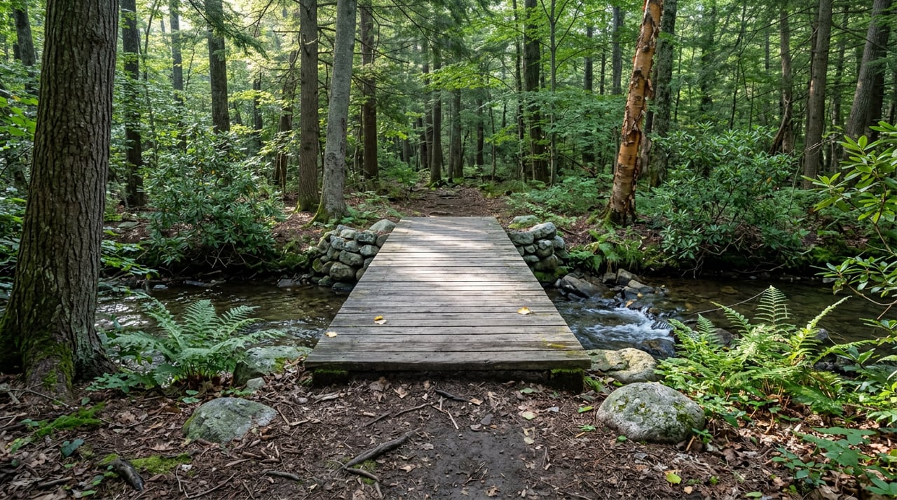
Ask anyone who has read about Buck Hill Falls online and they'll recite the same figures: 4,500 acres, 45 miles of marked trails, three waterfalls. The numbers show up on the community's own site, on Wikipedia, in regional lifestyle magazines. They're accurate: they describe the full trail network, including trails reserved for residents and their guests and trails open to the public on scheduled hikes.
If you live in Buck Hill Falls, or you're hosting someone who doesn't, this distinction is the actual planning question. Not "how many miles of trail exist" but "which trails are open to the public without advance arrangements and which are available to residents, their guests, or through scheduled public hikes."
Public Access at Chestnut Mountain
Drive north on Route 191 about 4.3 miles from Mountainhome and you'll find the trailhead for Chestnut Mountain Preserve, 478 acres managed by the Buck Hill Conservation Foundation and open to anyone, dawn to dusk, no resident status required. This is the one public section of the network, and the Foundation's own trail guide says so directly: the trails on Chestnut Mountain are open to the public, while the rest of the Buck Hill Falls trail system is reserved for residents and their guests except when the Foundation schedules a guided hike open to everyone.
The preserve itself breaks into two blazed loops:
| Trail | Distance | Elevation change | What you get |
|---|---|---|---|
| Blue Loop | 2.8 miles | About 400 feet | A descent past a bear-clawed beech, a mossy overlook with views toward the Pocono Plateau, Spruce Mountain, Mount Wismer, and Skytop's West Mountain |
| Red Extension | Adds 1.2 miles | Moderate, with steep sections | Rockier terrain, occasional wet ground, the full loop that most hikers use for a longer outing |
| Combined loop | About 4 miles | Moderate throughout | The complete blazed network at Chestnut Mountain |
The overlook sits above Griscom Creek, which winds down to join Buck Hill Creek and eventually Brodhead Creek, a trout fishery that's often cited as one of the best in the region. The Foundation's former president, Frank May, has described the Chestnut Mountain project as nearly two decades in the making before it opened. That's the context worth knowing if you assumed a preserve this size was a recent land deal. It wasn't. It was a long negotiation that eventually produced a trailhead open to the public.
Spruce Mountain Access
Just past Chestnut Mountain, on the same plateau, sits Spruce Mountain, a 398-acre preserve protected by a conservation easement. The trail here runs close to five miles, includes a bridge crossing Griscom Creek, and climbs to a summit view that takes in the Delaware Water Gap. It exists because of a cross-easement agreement between the Buck Hill Falls Company and Spruce Lake Retreat, and the Monroe County Open Space program helped fund the trail grading and signage.
One account of this trail describes it as open to the public, with a request that hikers call the Buck Hill Falls Company ahead of time to log their plans for safety. That's a materially different access model than Chestnut Mountain's walk-up policy, and it sits alongside the Foundation's own trail guide, which groups Spruce Mountain with the rest of the interior network reserved for residents and guests, with public access available mainly through scheduled Foundation hikes. If you're planning to bring an out-of-town visitor here on your own, the safer move is to check the Foundation's newsletter for a guided hike date rather than assume a phone call to the front office settles the question.
Resident-Access Trails
The Foundation's trail guide lists routes that use familiar community landmarks:
- A short out-and-back to the falls themselves
- A sunset route that walks historic paths past the old Inn site and the Community Garden
- An out-and-back from Rolloff Road
- A loop through Jenkins Woods, which sits under a restricted conservation easement
- An old route tracing the south edge of the community
- An out-and-back to the site of the former Deer Lake
- A hike past Dinosaur Rock and the west side Greenway
- The Glade and Upper Glen paths
- A loop combining both of Metzgar's trails
- An out-and-back on the blue trail to an overlook
Separately, the guide catalogs a Maple Swamp route to Shaffer's Hill with a detour past Buck Hill's own vernal pool, a loop over Turkey Knoll Summit and down to Big Spring, a Cresco Heights loop, a walk around the perimeter of all 27 holes of the golf course, a Big Spring, Reese's Hole, Ash Road, and Chestnut Mountain combination, and a newly opened connector from Chestnut Mountain to Spruce Mountain by way of Spruce Lake Retreat that the guide flags as the freshest addition to the map.
Then there's the one built for people who want to see all of it in a single push: an endurance route of more than 20 miles, modeled loosely on England's Bob Graham Round, that climbs Hunter's Notch, cuts through the Inn site (tradition holds you kiss the fireplace there for good luck), drops onto Falls Drive and Lenape, crosses Golf Drive onto Buck Hill Road, and continues to Route 191 to pick up the outer trails. The guide suggests starting and finishing at the Golf Club, on the reasoning that you'll want a drink after.
Some of these routes include or connect to Chestnut Mountain, while others traverse the interior network, which the Foundation's guide describes as reserved for residents and guests except during scheduled public hikes.
Guided Hikes for Visitors
The Foundation isn't the only organization that offers public guided hikes on these interior trails. The Brodhead Watershed Association has run guided walks through Jenkins Woods as part of its Get Outdoors Poconos series, meeting at the lower pool parking area off Buck Hill Falls Road and led by board members with real naturalist credentials, including someone from the Pocono Avian Research Center. These events are announced ahead of time and open to the public, offering access for visitors who aren't hiking as residents' guests.
If you're planning a visit without a resident host or a scheduled guided hike, Chestnut Mountain remains the reliable answer. It's public, it's marked, it's about four miles if you take both loops, and no resident status is required to use the trail.
Planning Around Trail Access
The 45-mile figure describes the full network, while Chestnut Mountain offers four blazed miles open to the public without advance arrangements. The five-mile Spruce Mountain loop with its Delaware Water Gap view is available to residents and their guests, or during scheduled public hikes.
That's the access distinction worth checking before choosing a trail.
If you're weighing a move to Buck Hill Falls or comparing it against other Pocono communities with their own layered access rules, Kelly Realty Group spends its time in exactly this kind of neighborhood detail. Schedule your free Poconos market consultation and we'll walk you through what a property here actually gets you, trails included.